

Have you ever wondered what it would be like to see your house, as it looks from space? We live in a wonderful time where, thanks to Earth satellite view technologies and wonderfully robust satellite maps, we have the opportunity to have a birds-eye view of our own lives as they appear from thousands of miles above the earth.
As this technology is improved with each passing year, the quality and definition of all of the satellite images of Earth that are available to us is improving exponentially. So exactly how is it possible to sit on your computer and look at images of the very home that you are sitting in, as seen from space?
Full Earth Satellite Images
If the rich landscape of planet Earth fascinates you, then you have some options for viewing the entire earth as it is seen from space. In order for forecasters to attempt to accurately forecast the weather on Earth, they use satellite images of earth to view the progression of storms and fronts on the planet.
One such satellite that you can use to view satellite images of Earth is the National Oceanic and Atmospheric Administration’s (NOAA) GOES, or Geostationary Operational Environmental Satellites. Every three hours, these satellites release a new image of one of Earth’s hemispheres. From these satellite images you can see weather patterns as they circle the globe, but they lack any close up topography or detail.
If you are looking for some images of earth that have a little bit more detail, but are still images of a full Earth, then you may want to check out some images that are given to us by the folks at NASA. Images like this show planet Earth as a spectacular blue and land colored planet, complete with weather patterns and clouds for your eyes enjoyment.
Source: The World Bank
How About A Closer Look?
If you are looking for more detail, and want to truly see the house that you live in, or your place of work, or anywhere else on the planet, then there are plenty more choices for you. There are several services that you can use to really zoom in on your house from space, with Google Maps and Google Earth being some of the more popular choices among enthusiasts.
Google Maps
Google Maps is quite simple to use to spy on your house from space, and it requires nothing more than an internet connection and a web browser to view. All that you have to do is head on over to Google Maps and start zooming in.
By default, Google Maps will display a map view of North America. If you want to see any area in real-life detail, you may have to select the “Earth” view setting, typically located on the lower left side of the screen. Once you have selected your view, all you need to do is pan around and zoom in and out. It can sometimes be difficult to locate a particular point of interest, but this can easily be fixed by simply typing in the address of your destination and start zooming in.
Google Earth
Google Earth is very similar to Google Maps with the one main difference being that Google Earth is an application that you must download to your computer. Whether you have a Mac or a PC Google Earth is available to you, and they also have a phone app that you can download and use your favorite OS to view your house from space.
Once you have Google Earth installed you can pan and zoom just like you would using the Google Maps interface. Now you can view your house, as it looks from space, right on your mobile device anytime you like.
Source: Softonic
Google Alternatives
If you are not a regular Google user that is OK too. MSN (Bing) and Yahoo also have similar services that allow you to view their satellite map software right from the comfort of your computer.
Where Do The Images Come From?
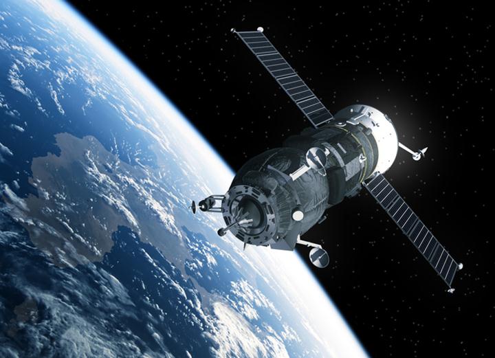
There are a few satellite services that have a fleet of satellites which area always up in space, taking photographs of planet Earth for us to enjoy. A few of these companies are DigitalGlobe, Spot Image and GeoEye. Their satellites take and collect the images from space, and services like Google Maps use those images and in-turn, deliver them to us through the use of their web or operating system applications.
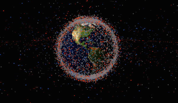
These companies all have a fleet of satellites, which have a primary function of taking incredible photographs of the Earth. The resolution of these satellites is quite remarkable too. The resolving features on these observation satellites can display an object as small as 18 inches. This means that if the satellites pick up an object as small as 18 inches it would be visible on the photograph as being the size of a single pixel.
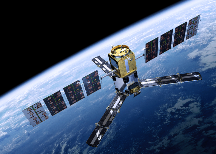
Earth Observation Satellite Specs
GeoEye – GeoEye has 5 satellites orbiting in space taking images of the Earth. They are IKONOS, OrbView-2, OrbView-3, GeoEye-1 and GeoEye-2
DigitalGlobe has 4 satellites orbiting the Earth. Early Bird 1, Quickbird, WorldView-1 and Worldview-2
Spot Image has 2 Earth observing satellites. They are Spot 4 and Spot 5
Am I Seeing What Is Happening Right Now?
When you use Google Maps or a similar service to view your house from space you are actually not seeing a live view of what is happening. Generally, most of the images you will see using these services may be a few years old. One way to see how old an image may be is to look at some of the detail on the satellite map.
When I look at my house using Google Earth I can see nothing but a pile of dirt and some old lumber. This means that the satellite image used to display my particular home was taken approximately 3 years ago.
Source: Popular Science
Are There Live Services?
If you want to see a truly live image of your house from space there are options. The International Space Station has a live view on their website that runs 24 hours a day. Not all of this will be live images of Earth however. You may have to check back to that service often if you want to get a live picture of the planet.
There is another service called UrtheCast. From this service you can see incredible live images of Earth in all its wonder. Sometimes though, you will be looking at a view of the Earth while it is nighttime, so your view will be black and not very exciting.
There are many products and services that will allow you to see your house from space with varying levels of detail and freshness. You are only limited by your imagination as to all of the great things that can be seen just by using a service that employs satellite images of Earth.
Source: universetoday
Featured Image Source: Thinkstock/3DSculptor